Download with Spatix platform
Spatix is always included when purchasing Terrasolid software. Terrasolid applications are included in the Spatix setup package – only one download is needed.
Note! Spatix is a lightweight CAD and may not provide 100% same functionality than versions running on supported Bentley Systems Inc. platforms.

Bentley Systems
Following CONNECT Edition products can be used as the platform MicroStation, PowerDraft, OpenCities Map PowerView, OpenCities Map, OpenCities Map Enterprise, OpenRoads Designer and ContextCapture Editor. Old V8i platform version can be downloaded but the support has been discontinued in 2020.
Download is available as single package including the most popular applications or as collecting individual applications into your own download package.
Bentley, MicroStation, OpenCities Map, OpenRoads, ContextCapture are either registered or unregistered trademarks or service marks of Bentley Systems Incorporated or one of its direct or indirect wholly owned subsidiaries.
Software download
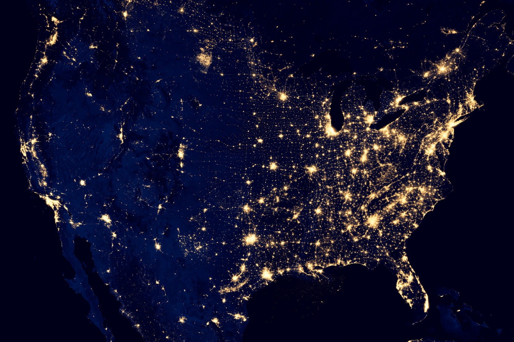
We develop software for processing airborne and mobile LiDAR data and images. Most of the applications are built on top of Bentley software. We offer full and light versions of software products which can be combined in packages tailored for your specific working requirements.
Most popular
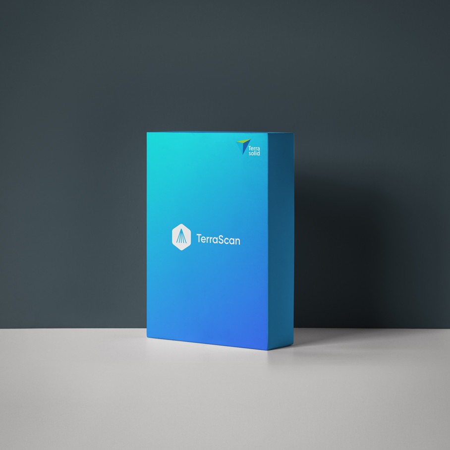
TerraScan
Software for LiDAR Data Processing and 3D Vector Data…
TerraModeler
Surface Modeling and Terrain Mapping With TerraModeler you…
TerraPhoto
Ortho-rectification of Images and Data Visualization…
TerraMatch
Calibration and Strip Adjustment TerraMatch is a…
Bundles
Terra for Spatix
This bundle includes the new platform Spatix CAD as well as…
Software package for Bentley platform
This installation bundle includes our most popular…
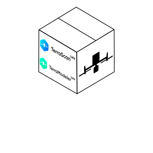
Terrasolid UAV Bundle for Spatix
This bundle includes Spatix CAD platform as well as…
Terrasolid UAV Bundle for Bentley
This bundle includes TerraScan UAV, TerraMatch UAV,…
Lite
TerraScan Lite
Software for LiDAR Data Processing and 3D Vector Data…
TerraModeler Lite
Surface Modeling and Terrain Mapping The lighter version of…
TerraPhoto Lite
TerraPhoto Lite is a light version of TerraPhoto, designed…
UAV
TerraScan UAV
Software for LiDAR Data Processing and 3D Vector Data…
TerraModeler UAV
Surface Modeling and Terrain Mapping TerraModeler UAV is a…
TerraMatch UAV
TerraMatch UAV is a lighter version of TerraMatch. It is…
TerraPhoto UAV
Ortho-rectification of Images and Data Visualization…
Windows only
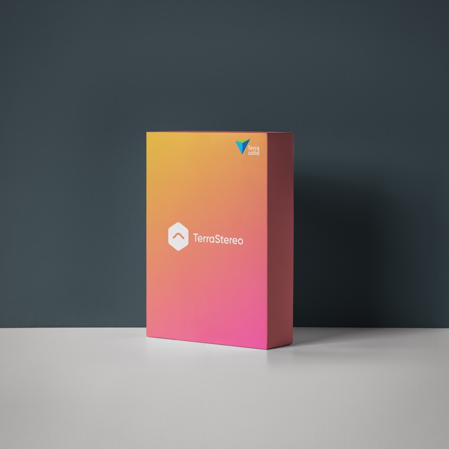
TerraStereo
Sophisticated Visualization of Very Large Point Clouds…
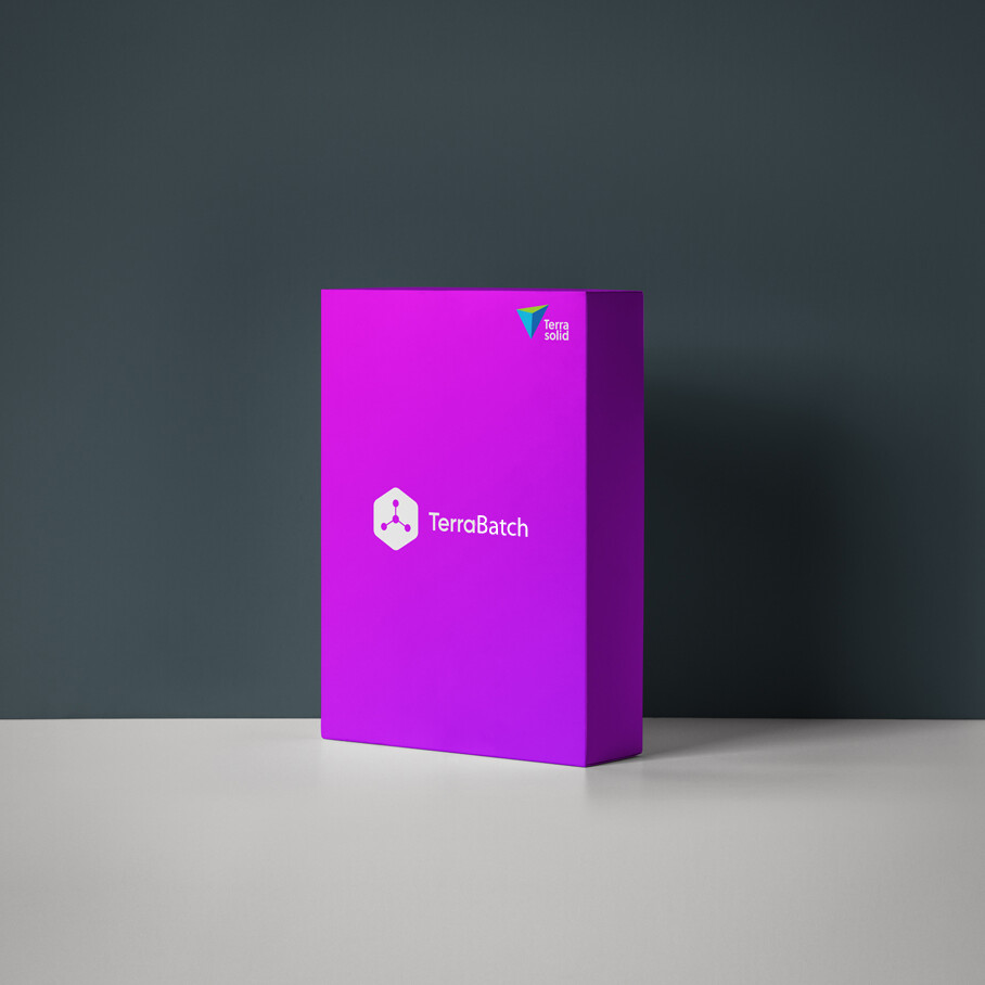
TerraBatch
More Capacity due to Distributed Batch Processing…
Engineering software

TerraSurvey
TerraSurvey handles data from field surveying with total…
TerraSurvey Lite
TerraSurvey handles data from field surveying with total…

TerraPipe
TerraPipe is a 3D designing software for underground…

TerraStreet
TerraStreet is a planning and designing software for roads…
TerraStreet Lite
TerraStreet is a planning and designing software for roads…

TerraHeat
Available in Finnish language only TerraHeat is a software…

TerraGas
TerraGas is a software for designing gas pipe networks in…

TerraBore
Mapping Soil Layers Available in Finnish language only.…

TerraCity
TerraCity provides connection between TerraScan on Bentley…
TerraScan
Software for LiDAR Data Processing and 3D Vector Data…
TerraModeler
Surface Modeling and Terrain Mapping With TerraModeler you…
TerraPhoto
Ortho-rectification of Images and Data Visualization…
TerraMatch
Calibration and Strip Adjustment TerraMatch is a…
TerraScan UAV
Software for LiDAR Data Processing and 3D Vector Data…
TerraModeler UAV
Surface Modeling and Terrain Mapping TerraModeler UAV is a…
TerraMatch UAV
TerraMatch UAV is a lighter version of TerraMatch. It is…
TerraPhoto UAV
Ortho-rectification of Images and Data Visualization…
TerraScan Lite
Software for LiDAR Data Processing and 3D Vector Data…
TerraModeler Lite
Surface Modeling and Terrain Mapping The lighter version of…
TerraPhoto Lite
TerraPhoto Lite is a light version of TerraPhoto, designed…
TerraStereo
Sophisticated Visualization of Very Large Point Clouds…
TerraBatch
More Capacity due to Distributed Batch Processing…
TerraSurvey
TerraSurvey handles data from field surveying with total…
TerraSurvey Lite
TerraSurvey handles data from field surveying with total…
TerraPipe
TerraPipe is a 3D designing software for underground…
TerraStreet
TerraStreet is a planning and designing software for roads…
TerraStreet Lite
TerraStreet is a planning and designing software for roads…
TerraHeat
Available in Finnish language only TerraHeat is a software…
TerraGas
TerraGas is a software for designing gas pipe networks in…
TerraBore
Mapping Soil Layers Available in Finnish language only.…
TerraCity
TerraCity provides connection between TerraScan on Bentley…
Terra for Spatix
This bundle includes the new platform Spatix CAD as well as…
Software package for Bentley platform
This installation bundle includes our most popular…
Terrasolid UAV Bundle for Spatix
This bundle includes Spatix CAD platform as well as…
Terrasolid UAV Bundle for Bentley
This bundle includes TerraScan UAV, TerraMatch UAV,…
Industries
Bundle different Terrasolid applications together and perform the whole workflow – data calibration and matching, point classification, image processing and delivery product creation – in one software environment.